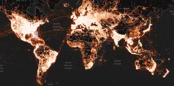
A new “heat map” using cellphone location data shows the terrifying consequences of Florida’s beaches remaining open during the ongoing coronavirus pandemic.
Video Tracks Cell Phones from One Beach Gathering and Shows Where They Spread During the Outbreak
As you can see in the video, cellphones on a single beach in Fort Lauderdale, Florida, during spring break were selected and tracked, and then seen sprawling all over the Eastern half of the country, potentially spreading the virus even further.
The video was created to show human movement during the coronavirus pandemic and uses data collected by a location technology company called X-Mode, which was then put into the Tectonix data visualization platform.
This is just one beach, in one small part of the country. The same companies also released a graphic for New York, which is much much worse.
Social distancing works and is important. Had these spring breakers, and others across the country, actually cared in the beginning of this outbreak, we wouldn’t have to endure countless apology posts.
Your cellphone gives off a ton of data, and while this type of data isn’t specifically inked to your identity, it’s incredibly easy for anyone to “re-identify” people to their phones. This is troubling to say the least.
This story originally appeared in Creative Loafing Tampa.
